
Automotive Lidar Sensors
Lidar measures range with emitted laser light and can produce detailed three-dimensional geometry. It is powerful for localization and obstacle geometry, but it neither understands the scene by itself nor remains unaffected by weather.
How lidar measures distance
Most automotive lidar emits short optical pulses or a modulated beam and measures the returned signal. Time-of-flight systems infer range from travel time; frequency-modulated continuous-wave approaches can also estimate radial velocity through Doppler behavior.
A sequence of range samples forms a point cloud. Each point represents a returned signal, not an identified object. Perception software must group points, estimate surfaces, classify road users, track motion and predict behavior.

Scanning architectures
Lidar designs include rotating assemblies, oscillating or micro-mirror scanners, flash illumination and other partially or fully solid-state approaches. The labels can hide important differences in field of view, scan pattern, moving parts, wavelength, receiver sensitivity and point distribution.
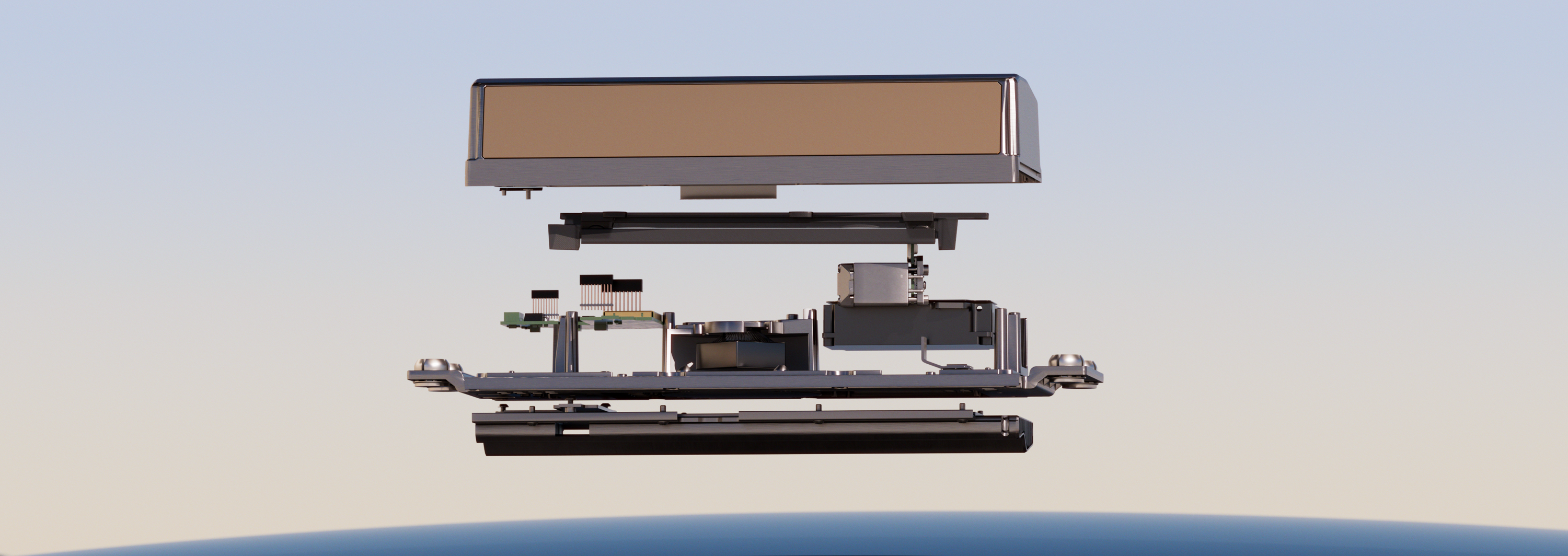
Mechanical versus solid-state is therefore not a complete quality comparison. The installed system must be evaluated for resolution, latency, vibration, thermal behavior, optical cleanliness and the targets relevant to its function.
What lidar does well
Lidar can supply:
- direct geometric range over many angular samples;
- accurate object contours and free-space boundaries under suitable conditions;
- useful structure in darkness because it provides its own illumination;
- landmark geometry for localization against a map;
- an independent measurement principle to complement cameras.
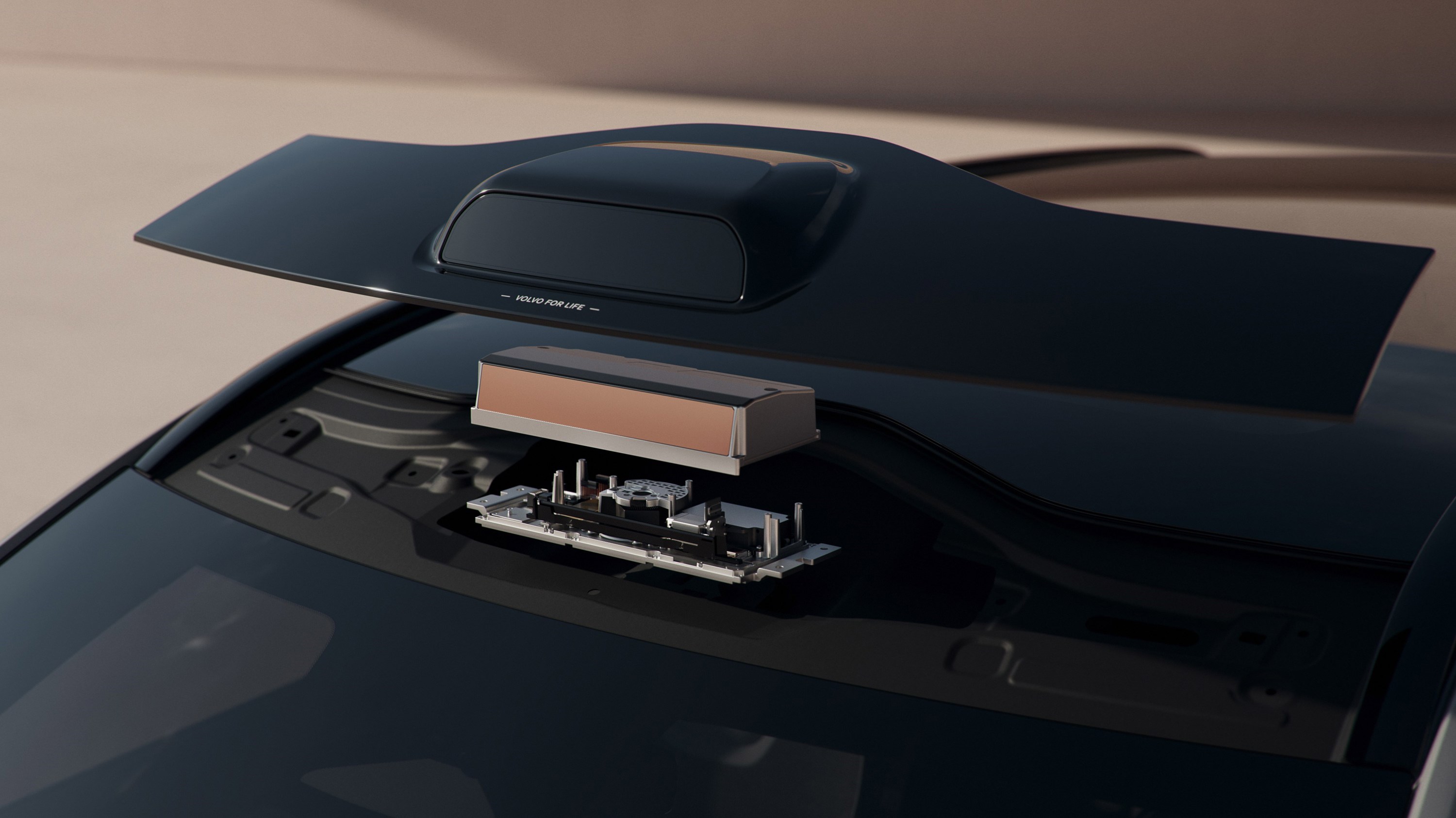
The often-repeated claim of “sub-centimetre accuracy” needs context. A component may achieve small repeatability error for a favorable target at a specific range, while installed-vehicle performance also includes angular error, calibration, motion, reflectivity, timing and object-processing uncertainty.
Geometry is not semantics
A detailed point cloud does not automatically reveal whether a signal is red, what a sign says, where a pedestrian intends to move or whether an object is harmless debris. Cameras often contribute these semantic cues. Radar can contribute direct radial velocity. Sensor fusion describes how these sources may be combined.
Lidar also does not choose a safe trajectory or apply the brakes. The complete chain matters.
Weather and contamination
Darkness itself is not a lidar limitation, but atmosphere and the optical surface are. Fog droplets can scatter the beam and reduce contrast to distant targets. Rain, snow and spray can create returns or attenuation. Water, salt, dirt, ice and condensation on the cover can reduce useful range.
Experimental studies report degradation that varies by lidar technology, precipitation or fog density, target material and test method. See Sensors: experimental lidar performance in rain and fog and Atmosphere: lidar performance in adverse weather. The correct statement is not “lidar works in bad weather” or “lidar fails in bad weather,” but that performance has a condition-dependent envelope that must match the operational design domain.
Heating, washers, hydrophobic coatings and placement help manage exposure. They do not eliminate the need for blockage detection and degraded behavior. See Calibration, cleaning and sensor health.
Other engineering constraints
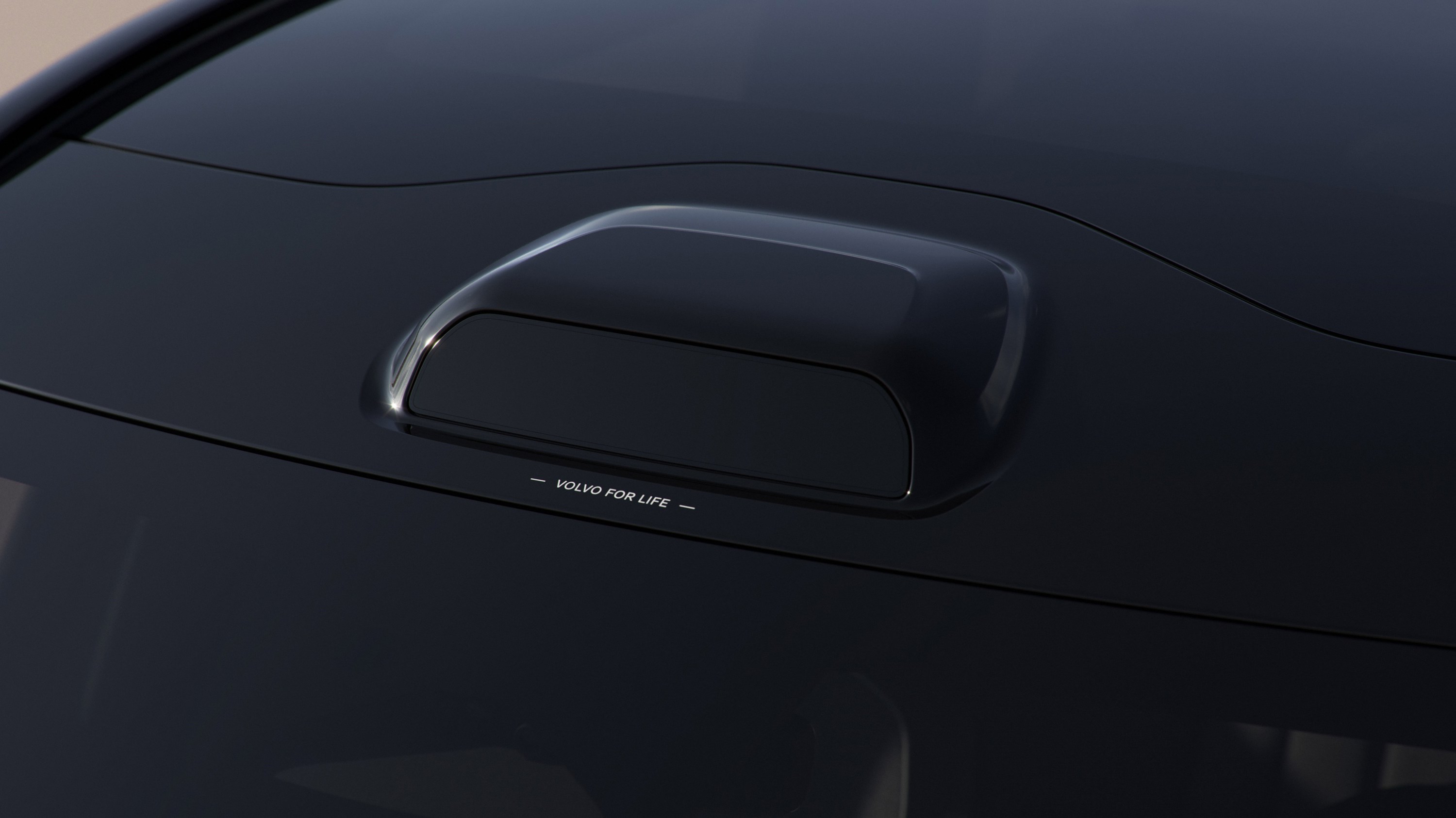
- Cost and packaging: hardware cost has fallen, but optical windows, cleaning, roofline or grille integration and repair remain system considerations.
- Eye safety: automotive products must control emitted optical power under applicable laser-safety requirements.
- Interference and sunlight: receiver and signal-processing design must reject background light and other optical sources.
- Point distribution: quoted point rates do not guarantee uniform useful resolution across the field.
- Minimum range: near-field blind zones can matter even when maximum range is large.
Use in production architectures
Waymo describes overlapping lidar, camera and radar coverage in its sixth-generation automated-driving system at Waymo: sixth-generation Waymo Driver. Mercedes-Benz lists lidar among the inputs used by DRIVE PILOT at Mercedes-Benz: DRIVE PILOT technology. Some consumer EVs also fit lidar as hardware for selected assistance functions or future-capability strategies.
Presence is not proof of use. A vehicle can carry lidar that a current software feature does not use, or use it only within limited conditions. Conversely, a camera-centric system can implement advanced Level 2 behavior without lidar. Camera-only vs multimodal sensing examines this debate.
How to judge demonstrations and range claims
NIST's evaluation work emphasizes target properties, environmental factors, uncertainty, latency and repeatability. See NIST: methods to evaluate 3D lidars used in automated driving. A supplier demonstration in which one vehicle stops and another does not is not a controlled architecture comparison unless hardware, software, target, speed, braking policy, repetitions and failures are disclosed.

Use How to validate sensor and perception claims to distinguish a component specification, a perception result and verified vehicle behavior.